Lot 1690
Sale 117 · Important Australian & World Coins, Medals, Tokens & Banknotes
Images
Coin 1
Coin 2
Coin 3
Description
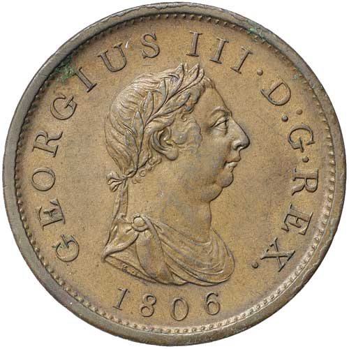
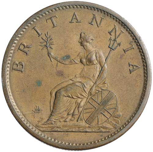
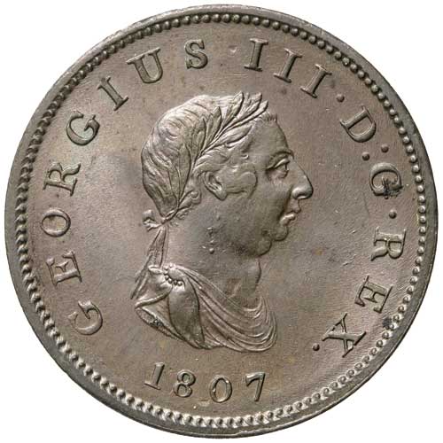
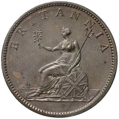
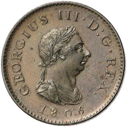
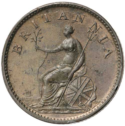
George III, fourth issue, copper penny, 1806, halfpenny, 1807 and farthing, 1806 incuse K (S.3780-2). Extremely fine - good extremely fine. (3)
Ex C.R.Deane Collection, first from Spink Australia, 27.03.85, and third from Spink London, 29.04.85 (£14).
- Estimate
- $300
- Result Status
- Sold
- Prices Realised
- $320